Free Printable Hocking Hills Trail Maps for 2026
Looking to explore the scenic Hocking Hills region of Ohio? Don’t use old, outdated trail maps. Download and print the official Hocking Hills trail maps for 2026 for free!
Here’s a list of the free printable Hocking Hills Trail Maps to guide you on your adventures. These trail maps are the official and most up-to-date from the Ohio Department of Natural Resources. Scroll down to download and print them at home for free.

This post may contain affiliate links. As an Amazon Associate I earn from qualifying purchases.
2026 Printable Hocking Hills Trail Maps
Below each image you will see a “Download Here” button. Click on the button and it will open a Google Drive file to download and print the free Hocking Hills trail map PDF.
Hocking Hills State Park Trails Map
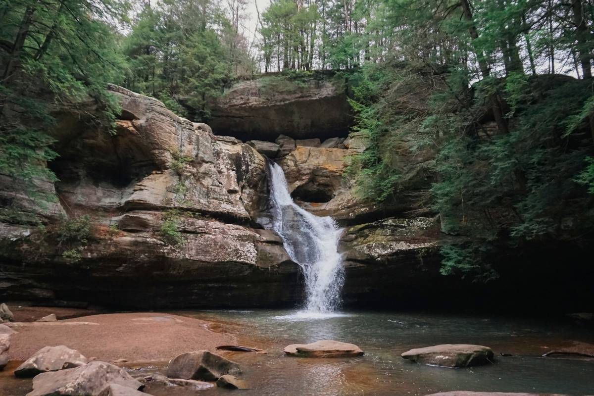
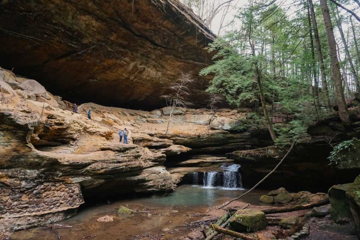
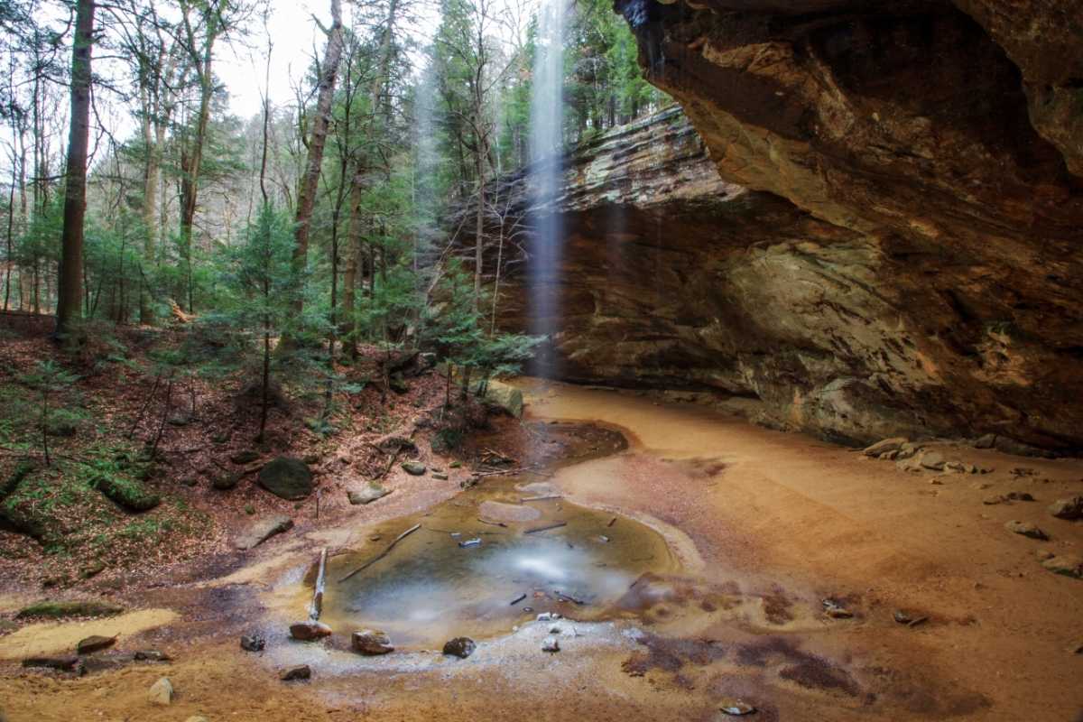
This is the official, up-to-date map for Hocking Hills State Park trails. This map includes all of Hocking Hills State Park’s most iconic trails and landmarks. These include Old Man’s Cave, Whispering Cave, Ash Cave, Cedar Falls, Upper Falls, Lower Falls, Devil’s Bathtub, and many more. Get your free high-resolution printable PDF of this Hocking Hills trail map below.

Looking for an easy hiking trail in the Hocking Hills? My Easy Hiking Trail in the Hocking Hills: Ash Cave post is for you. Or check out my Beautiful Ash Cave to Cedar Falls Trail post if you want a complete guide to a lesser-known trail linking two iconic waterfalls. It includes an exclusive Ash Cave to Cedar Falls trail map!
Hocking Hills Region Trails Map
There’s even more to explore in Hocking Hills outside the state park! These updated trail maps include iconic Rock House, Cantwell Cliffs, and Conkles Hollow Nature Reserve. Get your free high-resolution printable PDF of this Hocking Hills trail map below.

Looking to for pet-friendly hikes in the Hocking Hills? My Best Trails for Dogs in the Hocking Hills post covers everything you need to know about bringing your dog to Hocking Hills. Learn where pets are and aren’t allowed, leash requirements, and more.
Complete Hocking Hills State Park & Region Trails Map
Here is the complete Hocking Hills State Park & Region Trails Map. Get your free high-resolution PDF of both maps below.

Tips for Printing Trail Maps
- Make sure your printer is full of color ink before printing to ensure each marked trail on the map can be identified by the color.
- Print the map at full size so the small text can be read.
- If printing more than one map, print on separate pages to ensure the paper doesn’t get too saturated with ink.
- Let the ink of the printed maps dry completely before handling to avoid smudging.
Is having a printable Hocking Hills map important?
I hope these printable Hocking Hills trail maps help you plan your trip. And give you peace of mind as you hit the trails. While it’s not completely necessary, having a printable trail map can be important because:
- Cell service is very spotty in the Hocking Hills. If you are using an app, cell service may not be available as you hike.
- Having a plan is important to be in and out of the trails before dark.
- It provides peace of mind on the trail to know where you’re going and estimate your location.
- It can be helpful to provide a location to emergency services if they are needed.
These printable Hocking Hills trail maps can also be used over and over again. Keep them to bring with you on each adventure to explore the scenic Hocking Hills!
See you out there!
Pin to save for later!

Want to read more about our outdoor adventures? Read how we did the 1000 Hours Outside Challenge in 11 months!


